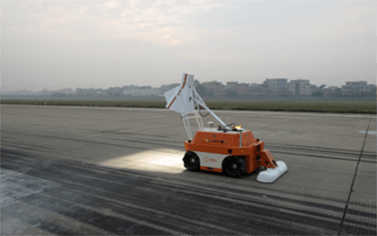
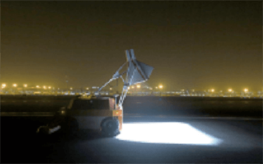
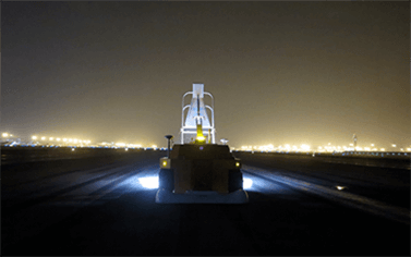
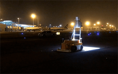
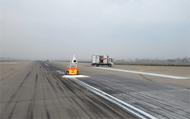
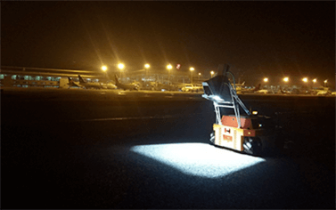
⚫ Road appearance assessment: PCI, DR, rut (RDI), maximum 50km/h, lane centered, single full coverage single lane.
⚫ The visual width of image combination is 4.10m (meeting the requirements of full coverage of 3.5-3.75m lanes at one time).
⚫ At the same time, the gray level 3D image and depth 3D image are output.
⚫ The horizontal resolution of the image is better than 1mm.
⚫ The image depth resolution is better than 0.8mm.
⚫ The absolute positioning accuracy of the data is 5cm, and the positioning information includes longitude and latitude (WGS-84), mileage stake number, and center line deviation distance.