

Case

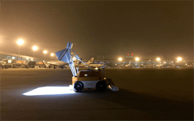

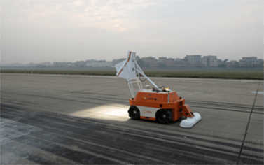
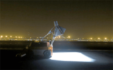


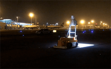

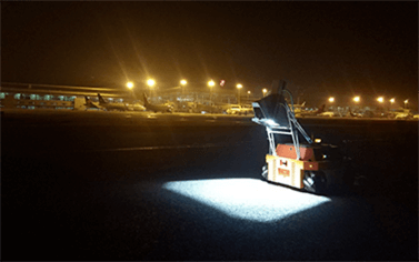

The World’s First Airport Pavement Health Robot Inspection System Solution
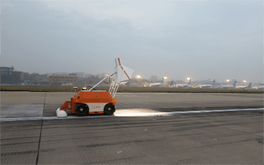
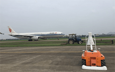
Case
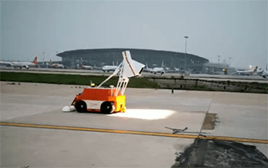
Case
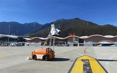
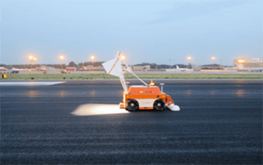
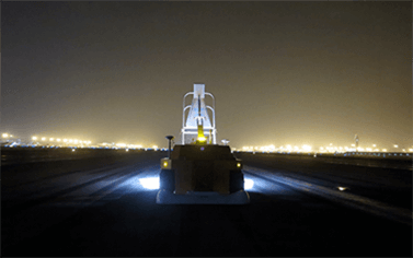
The World’s First Airport Pavement Health Robot Inspection System Solution
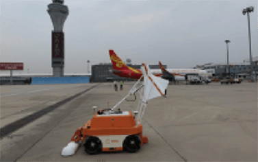
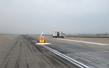
Case